Product Description
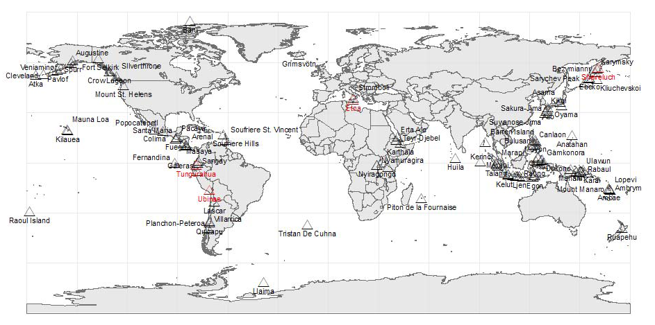
Abstract: This worldwide point shapefile represents known locations of active and inactive volcanoes. It is produced by DTN meteorologists and updated once a day.
Purpose: This shapefile can be used to plan flight routes and manage aircraft around volcano threats.
Description: This worldwide point shapefile contains known locations and names of active and inactive volcanoes. This layer is typically used to build a high level significant aviation weather forecast product, but can be used separately. Volcano activity shapefiles are updated once a day.
Product Specification
Shapefile Name: VOLCyymmddhh
Fields. Features in this product have the following attributes:
| Name | Type | Format | Description |
|---|---|---|---|
|
ValidDateT |
String (20) |
mm/dd/yyyy hh:mm:ss |
Valid date and time of volcano activity |
|
VolcanoID |
Number (10) |
n/a |
Unique volcano identifier |
|
VolcanoNam |
String (40) |
n/a |
Volcano name |
|
Location |
String (60) |
n/a |
Descriptive location of volcano |
|
Longitude |
Number (18) |
decimal degrees |
Longitude of volcano |
|
Latitude |
Number (18) |
decimal degrees |
Latitude of volcano |
|
StatusCode |
Number (3) |
n/a |
Coded volcano activity status: 0 = INACTIVE, 1 = ACTIVE |
|
Status |
String (8) |
n/a |
Descriptive volcano activity status: INACTIVE or ACTIVE. |
GeoDatabase Specification
Spatial Table Name: VOLC
Views. The following spatial views are available on this spatial table:
| Microsoft SQL Server | Oracle |
|---|---|
|
VOLC_View CrntVOLC_View |
VOLC_View CrntVOLC_View |
Columns. Features in this spatial table have the following attributes:
| Name | ArcSDE Data Type |
|---|---|
|
ValidDateT |
String(20) |
|
VolcanoID |
Integer |
|
VolcanoNam |
String(40) |
|
Location |
String(60) |
|
Longitude |
Double |
|
Latitude |
Double |
|
StatusCode |
SmallInt(4) |
|
Status |
String(8) |