Product Description
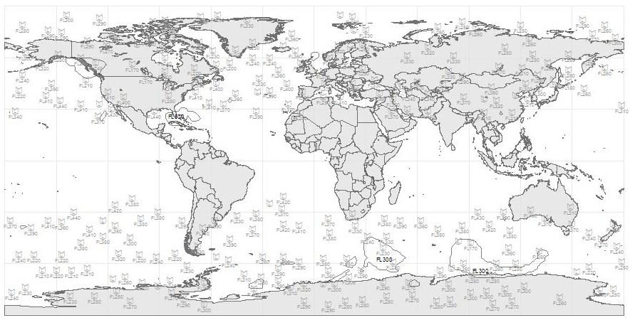
Abstract: These polygon shapefiles identify worldwide forecast tropopause height contours at 6, 12, 18 and 24 hours into the future based on modeled weather data. Tropopause height forecast shapefiles are updated every 6 hours.
Purpose: These shapefiles can be used to plan flight routes and manage aircraft around high-altitude performance threats.
Description: These worldwide polygon shapefiles contain contours identifying forecast tropopause heights at 6, 12, 18 and 24 hours into the future based on modeled weather data. This layer is typically used to build a high level significant aviation weather forecast product. Tropopause height forecasts are updated four times a day.
Product Specification
Shapefile Name: TRHT???yymmddhh
Fields. Features in this product have the following attributes:
| Name | Type | Format | Description |
|---|---|---|---|
|
PolygonNum |
Number (3) |
n/a |
Polygon identification number |
|
ValidTime |
String (19) |
mm/dd/yyyy hh:mm:ss |
Forecast valid time (GMT) |
|
ModelTime |
String (19) |
mm/dd/yyyy hh:mm:ss |
Model run time (GMT) |
|
TotalPts |
Number (4) |
n/a |
Total number of polygon vertices |
|
Latitude |
Number (14) |
decimal degrees |
Recommended location of contour label |
|
Longitude |
Number (14) |
decimal degrees |
Recommended location of contour label |
|
TropHeight |
Number (6) |
ft/1000 |
Tropopause height above mean sea level (MSL) |
GeoDatabase Specifications
Spatial Table Name: TRHT
Views. The following spatial views are available on this spatial table:
| Microsoft SQL Server | Oracle |
|---|---|
|
TRHT_View FcstTRHT_View FcstTRHTNow_View FcstTRHTNowPlusAll_View |
TRHT_View FcstTRHT_View |
Columns. Features in this spatial table have the following attributes:
| Name | ArcSDE Data Type |
|---|---|
|
PolygonNum |
Integer |
|
ValidTime |
String(19) |
|
ModelTime |
String(19) |
|
TotalPts |
Integer |
|
Latitude |
Double |
|
Longitude |
Double |
|
TropHeight |
Integer |