Product Description
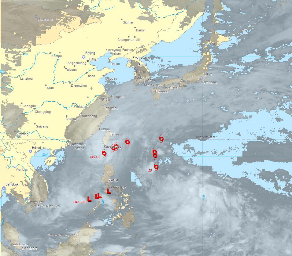
Abstract: These point shapefiles identify forecast worldwide locations of currently active tropical systems at 6, 12, 18 and 24 hours into the future. Tropical cyclone forecast locations are updated every 6 hours.
Purpose: These shapefiles can be used to plan flight routes and manage aircraft around tropical storm threats.
Description: This worldwide point shapefile contains locations of active tropical systems at 6, 12, 18 and 24 hours into the future. This layer is typically used to build a high level significant aviation weather forecast product. Tropical cyclone forecast locations are updated four times a day.
Product Specification
Shapefile Name: CYCL000yymmddhh
Fields. Features in this product have the following attributes:
| Name | Type | Format | Description |
|---|---|---|---|
|
ValidTime |
String (20) |
mm/dd/yyyy hh:mm:ss |
Forecast valid time (GMT) |
|
StormType |
Number (10) |
n/a |
Type of topical storm: 1 – Tropical Depression, 2 – Tropical Storm, 3 – Hurricane/Typhoon/Cyclone |
|
Name |
String (32) |
n/a |
Tropical storm name |
|
AdvNum |
Number (10) |
n/a |
Tropical storm bulletin advisory number |
|
Location |
String (4) |
n/a |
Tropical storm basin: AL for Atlantic, EP for East Pacific, CP for Central Pacific, WP for West Pacific, IO for Indian Ocean, SH for Southern Hemisphere, and XX for Other |
|
Number |
Number (10) |
n/a |
Tropical storm identification number |
|
Latitude |
Number (18) |
decimal degrees |
Latitude of tropical storm’s center |
|
Longitude |
Number (18) |
decimal degrees |
Longitude of tropical storm’s center |
|
Speed |
Number (10) |
knots |
Tropical storm’s forecast forward speed |
|
MaxWind |
Number (10) |
knots |
Tropical storm’s forecast maximum sustained wind speed |
GeoDatabase Specification
Spatial Table Name: CYCL
Views. The following spatial views are available on this spatial table:
| Microsoft SQL Server | Oracle |
|---|---|
|
CYCL_View CrntCYCL_View FcstCYCL_View FcstCYCLNow_View |
CYCL_View CrntCYCL_View |
Columns. Features in this spatial table have the following attributes:
| Name | ArcSDE Data Type |
|---|---|
|
ValidTime |
String(20) |
|
StormType |
Integer |
|
StormName |
String(32) |
|
AdvNum |
Integer |
|
Location |
String(4) |
|
StormNum |
Integer |
|
Latitude |
Double |
|
Longitude |
Double |
|
Speed |
Integer |
|
MaxWind |
Integer |