Product Description
Abstract: These polygon shapefiles contains a contoured analysis of forecast cloud ceiling heights valid at 1, 2, …, 23 hours into the future for North America. Forecasts are generated from modeled weather data, and are updated every hour.
Purpose: These shapefiles can be used to plan flight routes and manage aircraft around visibility threats.
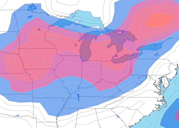
Description: Cloud ceiling polygons provide a contoured analysis of predicted cloud base heights in feet (ft) above ground level (AGL) where skies are expected to be broken or overcast. Forecast cloud ceilings are contoured every 100 feet from the surface to 1,000 feet AGL, and every 1,000 feet up to 25,000 feet AGL. Cloud ceiling contour maps are generated at DTN by a combination of proven automated and manual value-added meteorological processes to significantly improve quality and resolution of analyses. Forecast cloud ceiling analyses are available for the Continental U.S. and Gulf of Mexico, and are updated every hour. This information is primarily intended for aviation customers.
Product Specification
Shapefile Name: CIGH_FCST??yymmddhh
Fields. Features in this product have the following attributes:
| Name | Type | Format | Description |
|---|---|---|---|
|
PolygonNum |
Number (3) |
n/a |
Polygon identification number |
|
ValidTime |
String (19) |
mm/dd/yyyy hh:mm:ss |
Model forecast valid time (GMT) |
|
ModelTime |
String (19) |
mm/dd/yyyy hh:mm:ss |
Model run time (GMT) |
|
TotalPts |
Number (4) |
n/a |
Total number of polygon vertices |
|
Latitude |
Number (14) |
decimal degrees |
Recommended location of contour label |
|
Longitude |
Number (14) |
decimal degrees |
Recommended location of contour label |
|
CigsCode |
Number (6) |
>120, then 1 |
Coded cloud ceiling height categories; in hundreds of feet |
|
CigsHeight |
String (10) |
ft/100 |
Cloud ceiling height above ground level (AGL) |
GeoDatabase Specification
Spatial Table Name: CIGH
Views. The following spatial views are available on this spatial table:
| Microsoft SQL Server | Oracle |
|---|---|
|
CIGH_View FcstCigs_View FcstCigsNow_View FcstCigsNowPlusAll_View FcstCigsNowPlus01_View FcstCigsNowPlus02_View FcstCigsNowPlus03_View Fcst000HrCigs_View Fcst006HrCigs_View Fcst012HrCigs_View Fcst018HrCigs_View |
CIGH_View Fcst000HrCigs_View Fcst006HrCigs_View Fcst012HrCigs_View Fcst018HrCigs_View |
Columns. Features in this spatial table have the following attributes:
| Name | ArcSDE Data Type |
|---|---|
|
PolygonNum |
Integer |
|
ValidTime |
String(20) |
|
ModelTime |
String(20) |
|
TotalPts |
Integer |
|
Latitude |
Double |
|
Longitude |
Double |
|
CigsCode |
Integer |
|
CigsHeight |
String(10) |